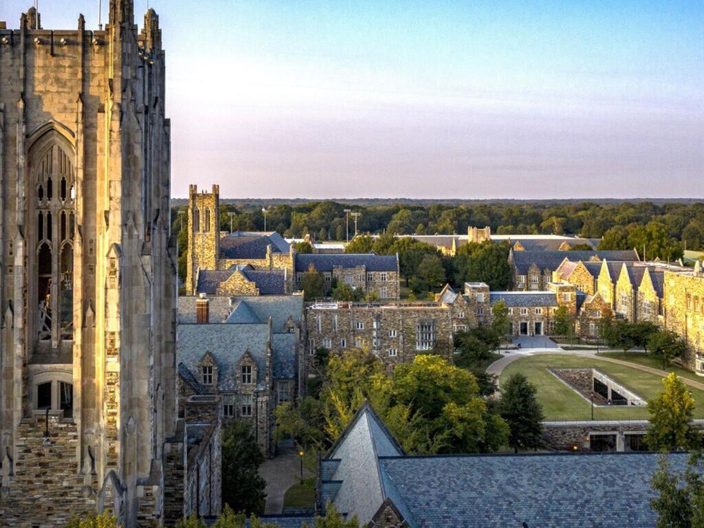
For many years, students at Rhodes College have made a mark using geographic information science and cartography, earning top awards for their innovative projects. In response to this success and to enhance students’ skills to analyze and visualize spatial data and mapping techniques, the college is now offering a Geographic Information Science (GIS) Undergraduate Certificate.
“The Rhodes GIS Certificate offers an interdisciplinary, community-engaged education that equips students with versatile skills and opens doors to a wide range of career pathways.” according to Dr. Shaolu Yu, associate professor of urban studies and faculty member who took the lead in developing the certificate.
“While some state universities and larger colleges offer GIS certificates, to our knowledge, Rhodes is the only independent liberal arts college offering an interdisciplinary GIS certificate that bridges the sciences, humanities, and arts,” said Yu.
This certificate program is beneficial for students across all majors by providing essential skills and knowledge increasingly valued in today’s job market, particularly in environmental studies and science, data analytics, urban planning and policy, and public health. GIS also offers a powerful medium for storytelling, making it increasingly popular among students in art, history, and media studies.
To earn the GIS certificate, students must complete a total of 12 credits. A foundational course, ENVS/URBN 225, serves as an introduction to GIS and lays the groundwork for understanding key concepts and techniques in the field. In addition to this foundational course, students can select from a range of specialized courses that include Critical Cartographies, Remote Sensing, Mapping Population Health, Archaeology and Historic Preservation, and Intro to Urban Planning and Design, Mapping Oral Histories and Geographies, among others.
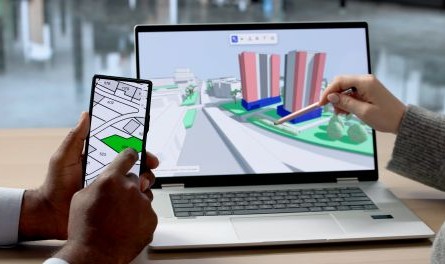
GIS professionals take on various roles across different industries that include the collection and analysis of spatial and geographical data to create detailed digital maps and visual reports. They utilize specialized software to identify patterns, relationships, and trends regarding the occurrence of events across diverse landscapes and provide crucial insights that can guide decision-making processes.
In the government sector, for instance, GIS professionals assist organizations in making decisions related to city planning and land use by mapping out new road networks, zoning areas and public spaces. As urban planners, they leverage GIS tools to analyze and interpret city maps, making informed recommendations about resource allocation and infrastructure investments. In emergency management, they develop evacuation plans and track disaster responses in real time, and in public health, they monitor disease outbreaks and assess health trends within populations. Furthermore, GIS serves as a valuable tool for community organizers and historic preservationists, supporting community mapping, historical archiving, oral history documentation, and place-based storytelling.
“In today’s data-driven, interconnected world, the ability to integrate data and mapping is an increasingly important skill,” noted Dr. Timothy S. Huebner, provost and vice president for academic affairs. “We are excited about being able to offer this opportunity for Rhodes students.”

Rhodes environmental science alumna Roberta Moore ’14, who is senior field representative for the Central Southeast Region at The Conservation Fund (TCF), said about the new certificate, “It gives official standing to a skillset Rhodes students have quietly been building for years. For employers, it’s a clear signal that a graduate with this credential has a rigorous, broadly recognized expertise they can count on. And for Rhodes, it’s recognition for GIS training and work the college continues to do exceptionally well.”
In her role at TCF, Moore directs land, water, and resource conservation across Georgia and Alabama and advance land acquisition projects that protect ecologically and culturally significant landscapes.
“The skillset I learned at Rhodes gave me the tools I needed to make TCF’s mapping work more dynamic and strategic, which in turn helped me grow into the land acquisition role I hold today,” said Moore. “What made my GIS training so valuable, though, was learning those skills at a liberal arts institution. Rhodes expertly pairs technical skill-building with a strong practice in critical thinking, writing, and relationship-building. I came out of college with hard science from my environmental science degree, the GIS skills to apply it, and the soft skills to put it all to work. I still lean on that combination every day.”
Overall, the new certificate from Rhodes College aims to equip students with the essential skills and practical knowledge needed to thrive in the dynamic and evolving field of GIS.